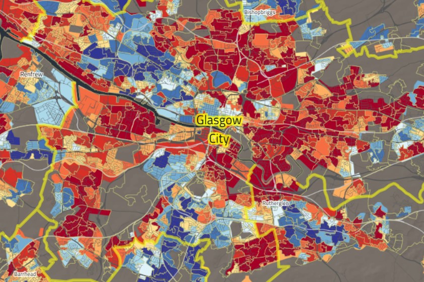
Challenge
A Geographic information science (GIS) team use several large datasets that exist in multiple systems and locations. Significant time and effort is spent moving and copying data and the use of specialised software exposed constraints in deployment and managing many on-premises components. The team wanted to understand how to alleviate their constraints using a cloud solution.
Solution
The solution involved a complete analysis of their existing estate, which included many on-premises components, together with third-party managed and self-managed cloud components. By conducting regular workshops, including demos and obtaining lower level technical details on specific GIS tooling from third-party vendors, a complete “AsIs” technical architecture was created. Using this it became clear how to consolidate the estate and provide a target cloud implementation. A target “ToBe” architecture was created, together with an Alpha/Pilot and BETA architecture.
Outcome
An alpha was successfully created that provided the complete software stack for the main third party tool, together with access to many of the large datasets. This allowed successful testing with end-users to ensure feedback for the next delivery phase.

